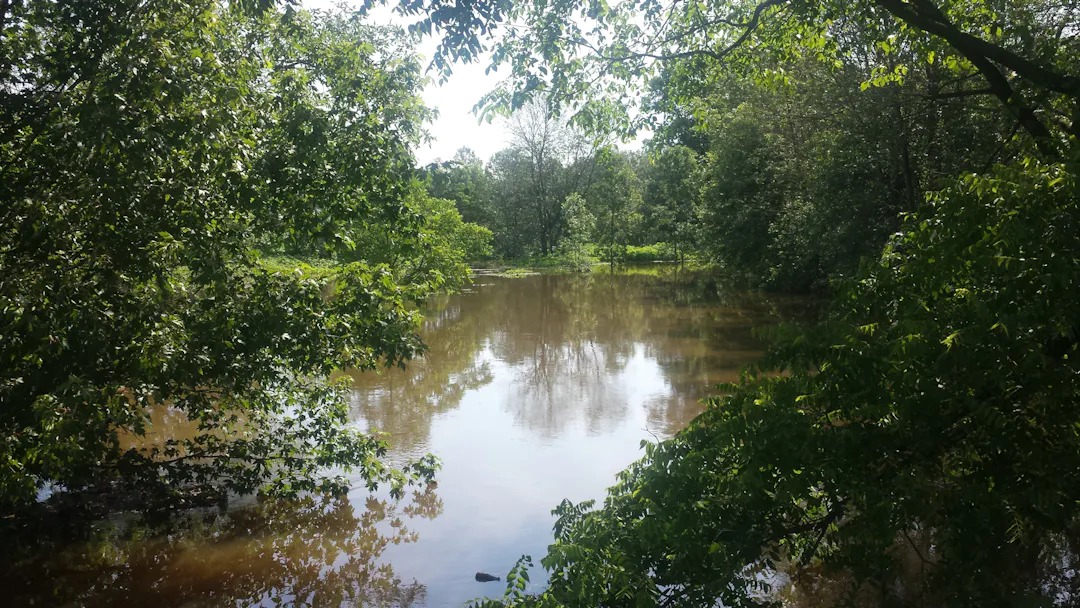
NPCA Updating Big Forks Creek Floodplain Mapping

The Niagara Peninsula Conservation Authority is in the process of updating floodplain mapping for Beaver Creek in the Township of West Lincoln and Big Forks Creek in the Township of Wainfleet.
The public is invited to an information session to be held:
Wednesday, May 3, 2023
6:00 pm to 8:00 pm
Wellandport Community Center
5042 Canborough Road (Regional Road 63)
Wellandport, in the Township of West Lincoln
NPCA staff and their engineering team will introduce the floodplain maps, followed by a presentation on the NPCA's Floodplain Policies and final results of the project.
Mapping that accurately shows flood hazards can help people prepare for and respond to potential flooding.
Residents are encouraged to review the Draft Final Floodplain Mapping and Mapping Reports to determine if their property is in the draft floodplain areas. Properties located within regulated flood hazard areas may be subject to certain floodplain development limitations in order to reduce flood risk in our communities - from a minor inconvenience of a wet yard to the potential loss of life.
For more information, including answers to frequently-asked questions and opportunity to view important documents and interactive mapping to see if your property is in the draft floodplain area, please visit:
https://getinvolved.npca.ca/beaver-big-forks-creek-floodplain-mapping
